Thorthormi Lake Siphon Test: Bhutan's Glacial Flood Defence
By Best of Bhutan Research Desk · October 7, 2026 · 9 min read
Bhutan's National Centre for Hydrology and Meteorology (NCHM) is running a second test of a siphon system at Thorthormi Lake, the glacial lake in Lunana that the agency ranks as the country's highest outburst-flood risk. A team arrived in Lunana in September to build the new setup, BBS reported on 21 September 2026. The 2025 attempt was built but never started flowing. Coverage from Daily Bhutan (5 October) and Dialogue Earth (2 October) also confirms the test, but as of 7 October no result has been published.
In short: if the siphon works, it could slowly lower the lake and reduce the volume of water that could rush down the Pho Chhu towards Punakha in a worst-case breach. For travellers nothing changes right now. Punakha Dzong, the suspension bridge and the valley are open as normal, and the river is watched around the clock by sensors and sirens.
Key Facts at a Glance
| Detail | What has been reported |
|---|---|
| Lake | Thorthormi Tsho, Lunana, Gasa district, north-west Bhutan |
| Elevation | About 4,400–4,500 m (figures vary by source) |
| Surface area | About 4.35 km² (NCHM 2025 report) |
| Risk ranking | Highest of Bhutan's 17 potentially dangerous glacial lakes (NCHM, via BBS) |
| What is being tested | A gravity siphon: a pipe that draws water over the lake's barrier and lets it drain downhill |
| 2025 attempt | Built near the lake but never started flowing; the lift from the water up to the pipe's high point was too large |
| 2026 attempt | New site near the lake's existing outlet; at least two weeks of construction before trying to start flow (BBS) |
| Downstream | Pho Chhu → Punakha Dzong (about 90 km) → Punatsangchhu |
| Modelled warning time | About 6 hours from breach to Punakha Dzong in a worst-case scenario (2024 study, via Dialogue Earth) |
| Result | Not yet reported |
What Is Being Tested at Thorthormi Lake
A siphon is a simple idea. You fill a pipe with water, put one end in the lake and the other end lower down the slope, and gravity keeps water flowing through it with no pumps or fuel. BBS reports that NCHM sees it as cheaper and easier to build than other ways of lowering a glacial lake.
The catch is physics at altitude. NCHM's 2025 siphon report describes the first attempt in detail. Between September and November 2025 the team laid roughly 750 metres of 125 mm plastic (HDPE) pipe, with parts flown in by helicopter in May and the rest carried in by pony. The pipe never held a steady flow. The main reason was height: the pipe's high point sat more than the roughly 6 metres a siphon can lift water at that altitude, where air pressure is lower. Trapped air and some flat sections of pipe made it worse.
The report recommended moving the system closer to the lake's existing outlet, where the lift is under 6 metres, and adding a one-way valve at the intake. That matches what BBS reported in September. This year's team was moving materials to a new site near the top of the lake's natural barrier, and the project engineer told BBS that construction would take at least two weeks before they could attempt to start the flow.
NCHM officials told BBS that if the method works, Bhutan would be the first country in the region to lower a dangerous glacial lake this way.
Why Thorthormi Matters
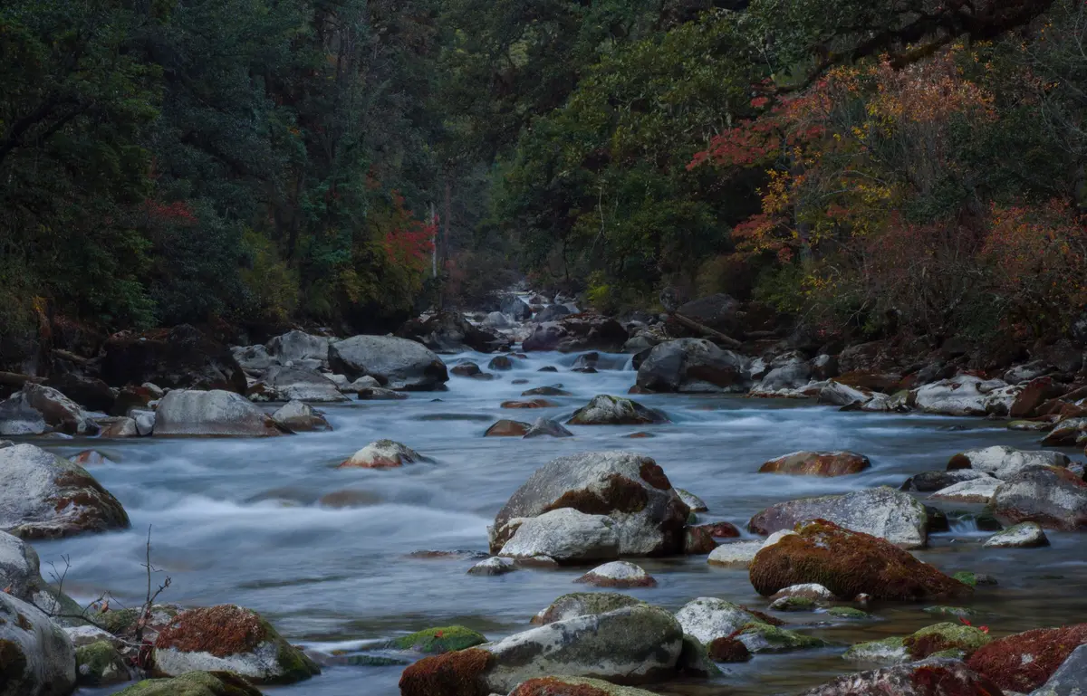
Thorthormi sits at the head of the Pho Chhu, one of the two rivers that meet at Punakha Dzong. It formed as the Thorthormi glacier retreated, and it lies beside an older lake, Raphstreng. The narrow strip of moraine between them is the main worry.
Here are the key numbers from recent reporting:
- Shrinking barrier. The Bhutanese reported in 2025 that the moraine wall between the lakes narrowed from about 45 metres in 2008 to about 33 metres in 2019.
- Worst case. If that wall failed and the lakes merged, about 53 million cubic metres of water could be released, according to The Bhutanese and an AFP report published in September 2026.
- Modelled flood. A 2024 study cited by Dialogue Earth and Daily Bhutan modelled a peak flow of about 16,400 cubic metres per second within four hours. Up to about 1,300 buildings and 245 hectares of farmland could be flooded.
- More lakes. Bhutan's 2026 glacial lake inventory counted 620 lakes, up from 567 in 2021. The Pho Chhu sub-basin, which includes Thorthormi, saw the largest rise, from 157 to 187 (Daily Bhutan, Dialogue Earth).
The country has been here before. In October 1994 an outburst from nearby Luggye Tsho sent a flood down the same valley and killed 21 people. Between 2008 and the early 2010s, crews lowered Thorthormi by hand-digging its outlet channel. Daily Bhutan puts the drop at about 3.7 metres; AFP says about five. Continued melting has since refilled the lake, which is why NCHM is trying the siphon.
Hydropower raises the stakes. Punatsangchhu-II (about 1,020 MW) began generating in December 2024, and Punatsangchhu-I (1,200 MW) is still being built downstream. Dialogue Earth notes that both sit in the path of a flood from this lake complex.
How the Flood Warning System Works
A siphon is only one layer of protection. The main safeguard today is early warning:
- Sensors near the lakes. Daily Bhutan reports 10 upstream water-level and weather stations in the Punatsangchhu basin. Stations near the lakes send data to NCHM every 15 minutes.
- Sirens along the river. The same report counts 18 warning sirens across the basin. AFP reports that sirens near the lakes go off automatically, while staff switch on the ones further downstream by hand.
- A 24-hour control room. NCHM has run a control room in Wangdue Phodrang since 2011, AFP reports. One junior engineer there told AFP, "Now we have to be more vigilant and more concerned."
- Staff in Lunana. The Bhutanese reports that NCHM hydromet officers are posted at Thanza, the village closest to the lakes.
- Drills. Punakha authorities have run evacuation drills (Daily Bhutan).
The current system detects a flood once it starts. It does not forecast one in advance. Dialogue Earth and Daily Bhutan both report that a forecast-based system is being developed to give more lead time. The modelled six hours before a flood would reach Punakha Dzong is an estimate from one study, not a guaranteed evacuation window.
What It Means for Travellers
Punakha is open and safe to visit. An outburst flood is a low-probability, high-impact event, and nothing in the current reporting points to an imminent threat. Punakha Dzong, the Punakha suspension bridge over the Pho Chhu, Chimi Lhakhang and the rest of the Punakha valley remain normal stops on almost every western Bhutan itinerary.
Know what the sirens mean. If you are staying or walking near the Pho Chhu, Mo Chhu or Punatsangchhu and hear a siren, follow your guide and local officials and move to higher ground. Do not stop to watch the river. If you want reassurance, ask your guide on day one where the nearest high ground is from your hotel.
Rafting. Nothing in the reporting points to changes for rafting on the Mo Chhu and Pho Chhu, which operators run according to daily river conditions. See our rafting page for seasons and routes.
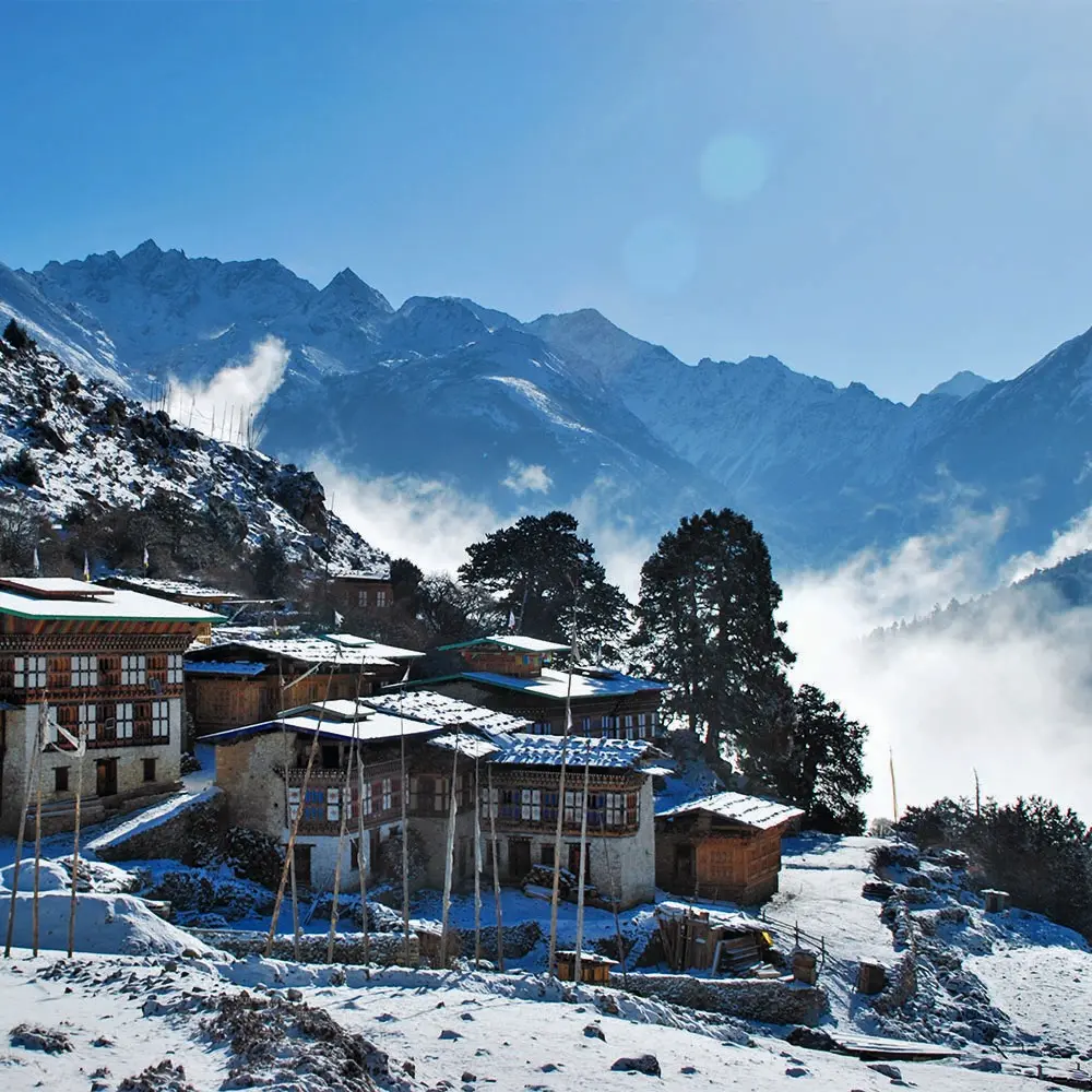
Lunana trekkers will be close to the work. The Snowman Trek passes through Thanza, the village nearest the Thorthormi and Raphstreng lakes. If you are trekking there this autumn, you may see NCHM staff, equipment or helicopter flights connected to the siphon work or monitoring. Treat the area as an active work site and keep your distance unless your guide arranges otherwise. Our Bhutan trekking guide covers permits, acclimatisation and evacuation insurance for the Lunana routes.
October weather looks drier than usual. In a separate outlook, NCHM expected most of Bhutan to get less rain than normal between 2 and 22 October, with rainfall closer to normal later in the month, BBS reported. That is useful for autumn trekkers and festival visitors, but conditions on high passes can still change quickly. Our month-by-month guide explains why October is peak season.
What Happens Next
NCHM has not published a date for a result. Based on the BBS timeline, with at least two weeks of building from late September, an attempt to start the siphon would likely fall in October, before winter closes in on Lunana. We will update this post when NCHM or BBS reports the outcome.
If the siphon works, the 2025 report suggests the method could be applied to other high-risk lakes. If it fails again, the early warning network remains Bhutan's main defence. For background on why Bhutan's terrain produces these risks, see our explainer on Bhutan's Himalayan geography.
Frequently Asked Questions
Is it safe to visit Punakha Dzong right now?
Yes. There is no reported imminent threat from Thorthormi Lake. The siphon is a precaution, and the river is monitored around the clock with sensors and sirens.
What is a glacial lake outburst flood (GLOF)?
It is a sudden release of water from a lake held back by ice or loose glacial debris (moraine). It can be triggered by an earthquake, an avalanche or too much meltwater, and it can send a fast flood down the valley below.
Where is Thorthormi Lake?
It is in Lunana, in Gasa district, north-west Bhutan, at about 4,400 to 4,500 metres. It sits at the head of the Pho Chhu, which flows south to Punakha Dzong about 90 km downstream.
Did the Thorthormi siphon work?
The 2025 attempt did not start a steady flow. The 2026 test at a new site near the lake's outlet was under way as of early October, and no result had been published as of 7 October 2026.
Can tourists visit Thorthormi Lake?
Only on a guided trek in Lunana, such as the Snowman Trek, which passes Thanza village near the lakes. It is a remote, high-altitude area with no road access, so plan carefully with your operator.
Sources
- BBS, "NCHM begins second phase of Thorthormi siphon test," 21 September 2026 — bbs.bt/246538
- BBS, "El Niño expected to bring drier start to October, says NCHM," 2 October 2026 — bbs.bt/246907
- Daily Bhutan, "Bhutan Tests New Defences Against Thorthormi Glacial Flood Risk," 5 October 2026 — dailybhutan.com
- Dialogue Earth, "The growing Himalayan risks in Bhutan's hydropower ties with India," 2 October 2026 — dialogue.earth
- AFP via Muser Press, "The round-the-clock monitors protecting Bhutan from glacier risk," 9 September 2026 — muser.press
- The Bhutanese, "Himalayan warnings, Thorthormi Lake and the growing risk of glacial floods," 13 September 2025 — thebhutanese.bt
- National Centre for Hydrology and Meteorology, "Testing Natural Siphon Technology for GLOF Hazard" (2025 pilot report) — nchm.gov.bt
Planning a trip to Punakha or a Lunana trek this season? Talk to us. We plan around current conditions and can tell you what is happening on the ground before you go.